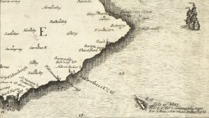
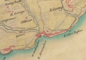
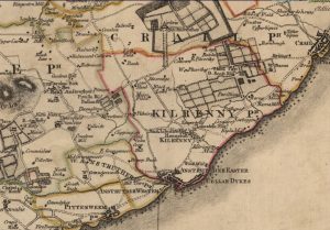
The Changing Names of Cellardyke and Skinfast Haven
1544 – Skynfasthavyne, 1579 – Skynfast Hevyne, 1855 – Skinfast Haven
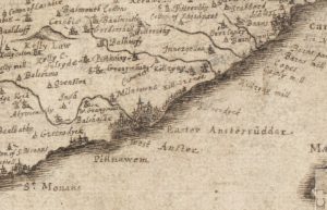
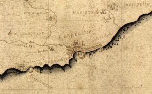
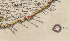
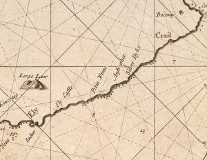
1579 – Siller Dyk, 1579 – Sellerdyke, 1585 – Skynfischtoun, 1585 – Silver Dykes,1596 – Silver Dykes, 1599 – Silverdykes, 1642 – Silverdyck, 1648 – Silverdyks, 1654 – Silver Dyck, 1693 – Silver Dyke, 1730 – Silverdykes, 1747 – Cellar Dykes, 1882 – Cellardykes,
1855 – Nether Kilrenny or Cellardyke & Skinfast Haven – Present Day
This denotes a map reference This denotes the harbour name This denotes a source reference
Main Source: The Commissariot Record of St Andrews – Register of Testaments (wills), 1549 – 1800. website link.
Scroll left and right below to travel the historical timeline

Skynfasthavyne
John Lauder, Vicar of Kilrenny in a petition refers to
siller dyk
Kilrenny Parish Record – Baptisms
penult. Augusti 1579 in Kilrynnie
John Willsone in the siller dyk of his wife, ane dauchter
Skynfast Hevyne
Act of Scottish Parliament
John Beaton of Balfour was infefted (given symbolic possession of inheritable property) in
Skynfischtoun
Act of Scottish Parliament states John Beaton (Beton) of Balfour in
Silver Dykes
Commissariot Record of St Andrews states,
Silver dykes and Silverdyke
Commissariot Record of St Andrews states,
Silverdykes
Commissariot Record of St Andrews states,
CELLARDYKE
(First mention of modern spelling)
Commissariot Record of St Andrews states,
Cellardyke
Commissariot Record of St Andrews states,
Nether Kilrenny or Cellardyke
& Skinfast Haven
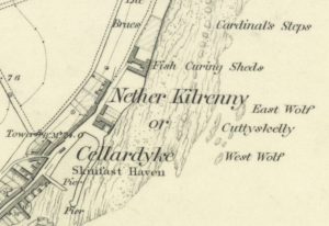
Cartographer – Ordnance Survey.
Map source – National Library of Scotland
Cellardykes
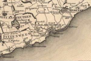
Cartographer – Christopher Greenwood, William Fowler.
Map source – National Library of Scotland
Cellardyke & Skinfast Haven
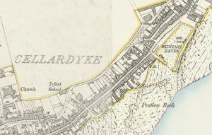
Cartographer – Ordnance Survey.
Map source – National Library of Scotland
Cellardyke and Skinfast Haven
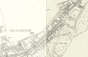
Cartographer – Ordnance Survey.
Map source – National Library of Scotland
Depicts the harbour pier after reconstruction following the great storm of 1898.

